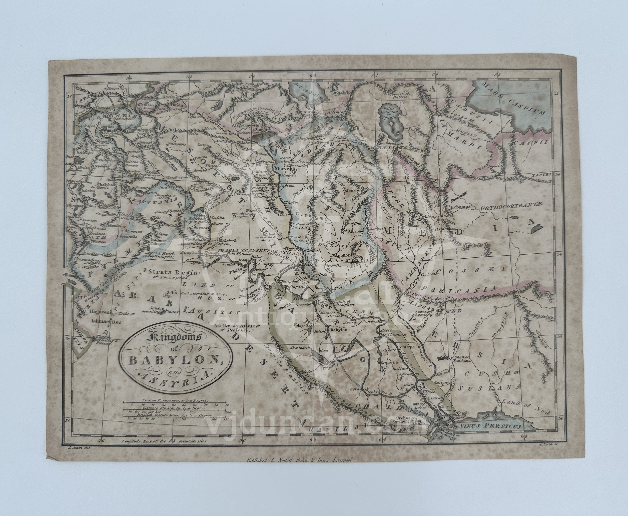
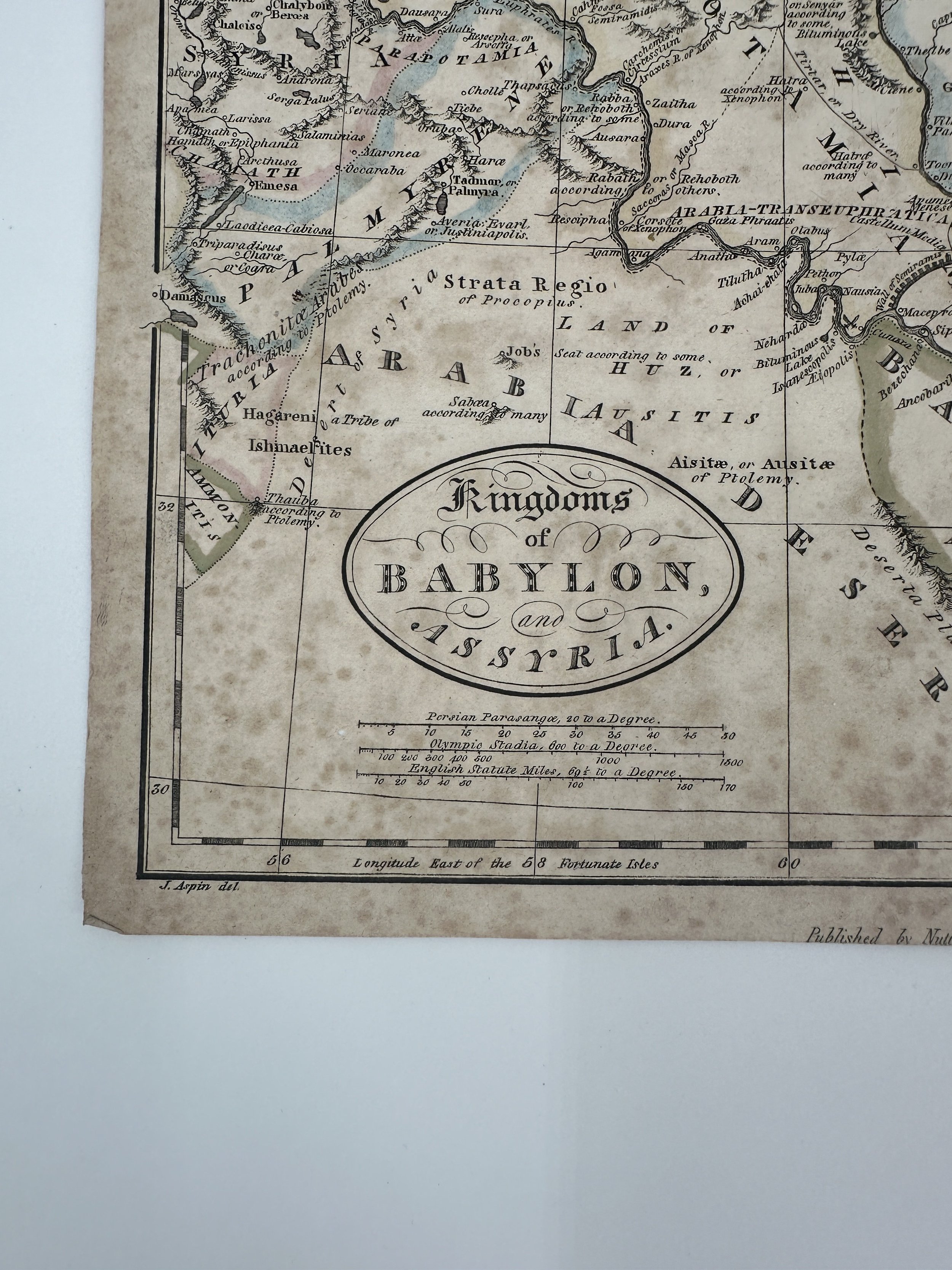
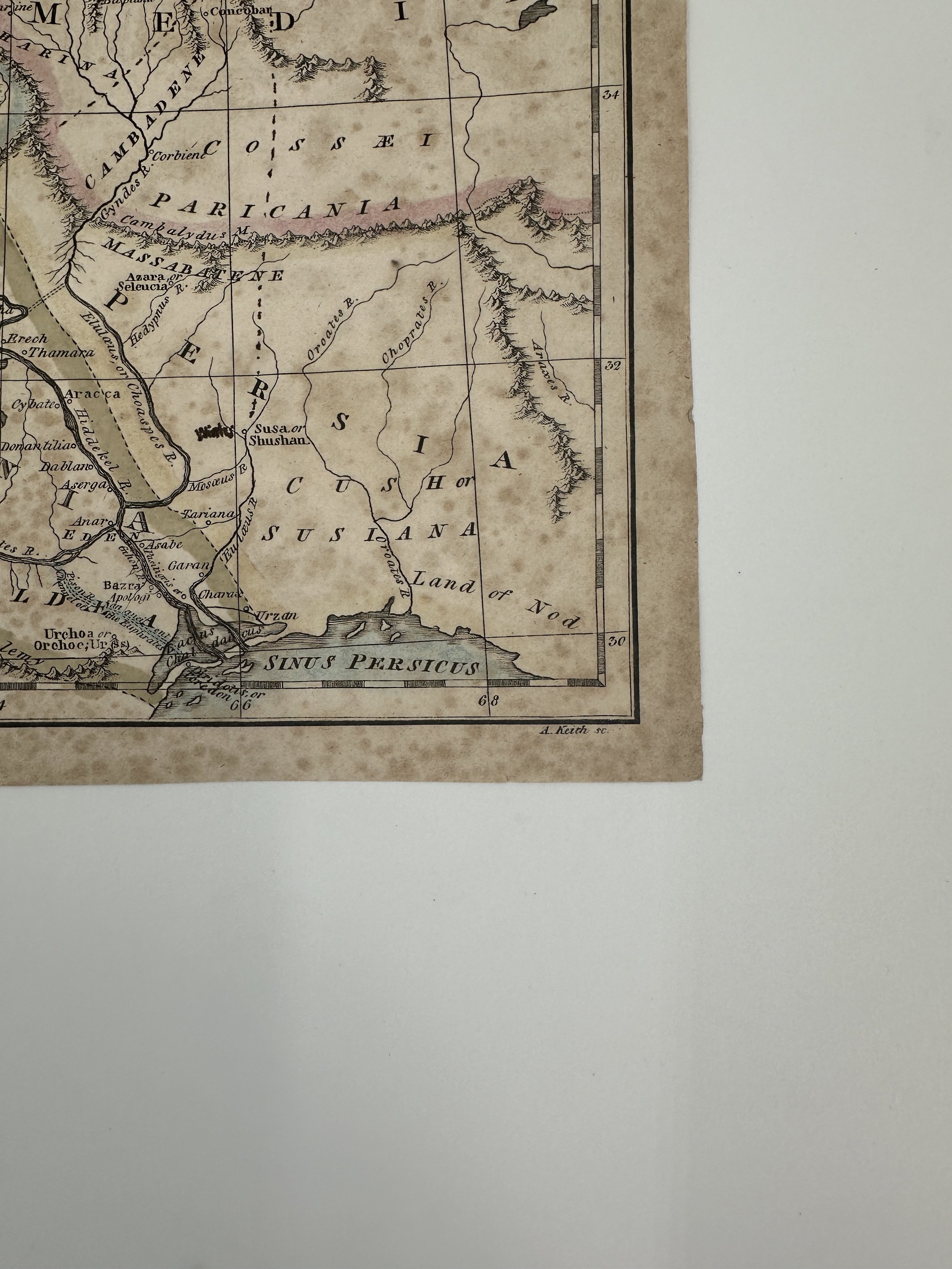
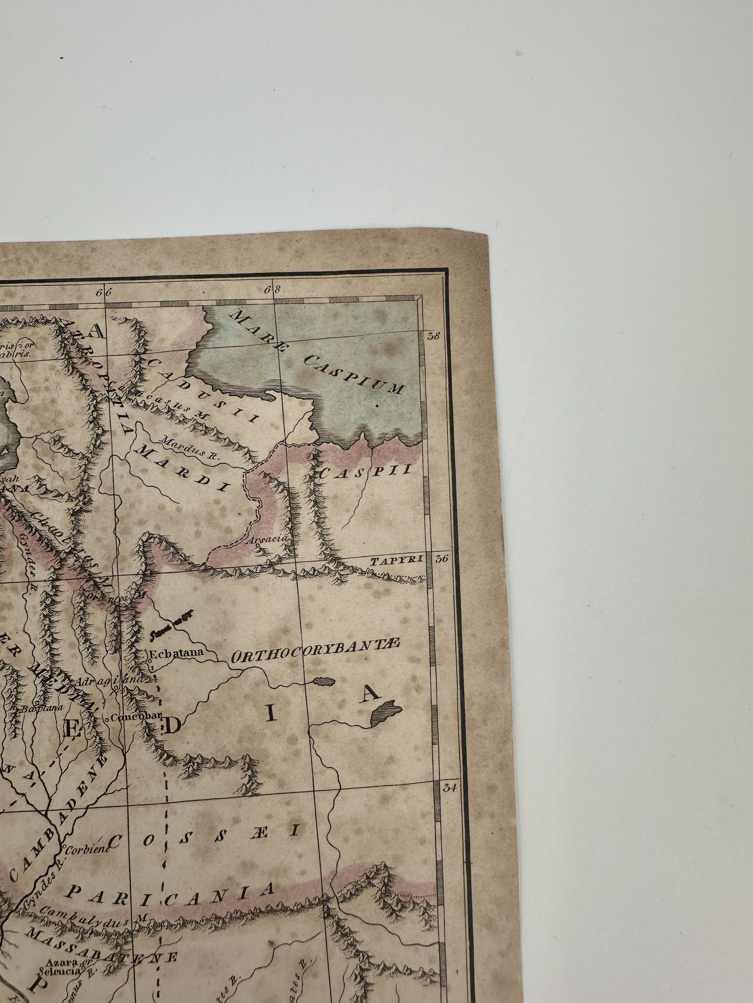
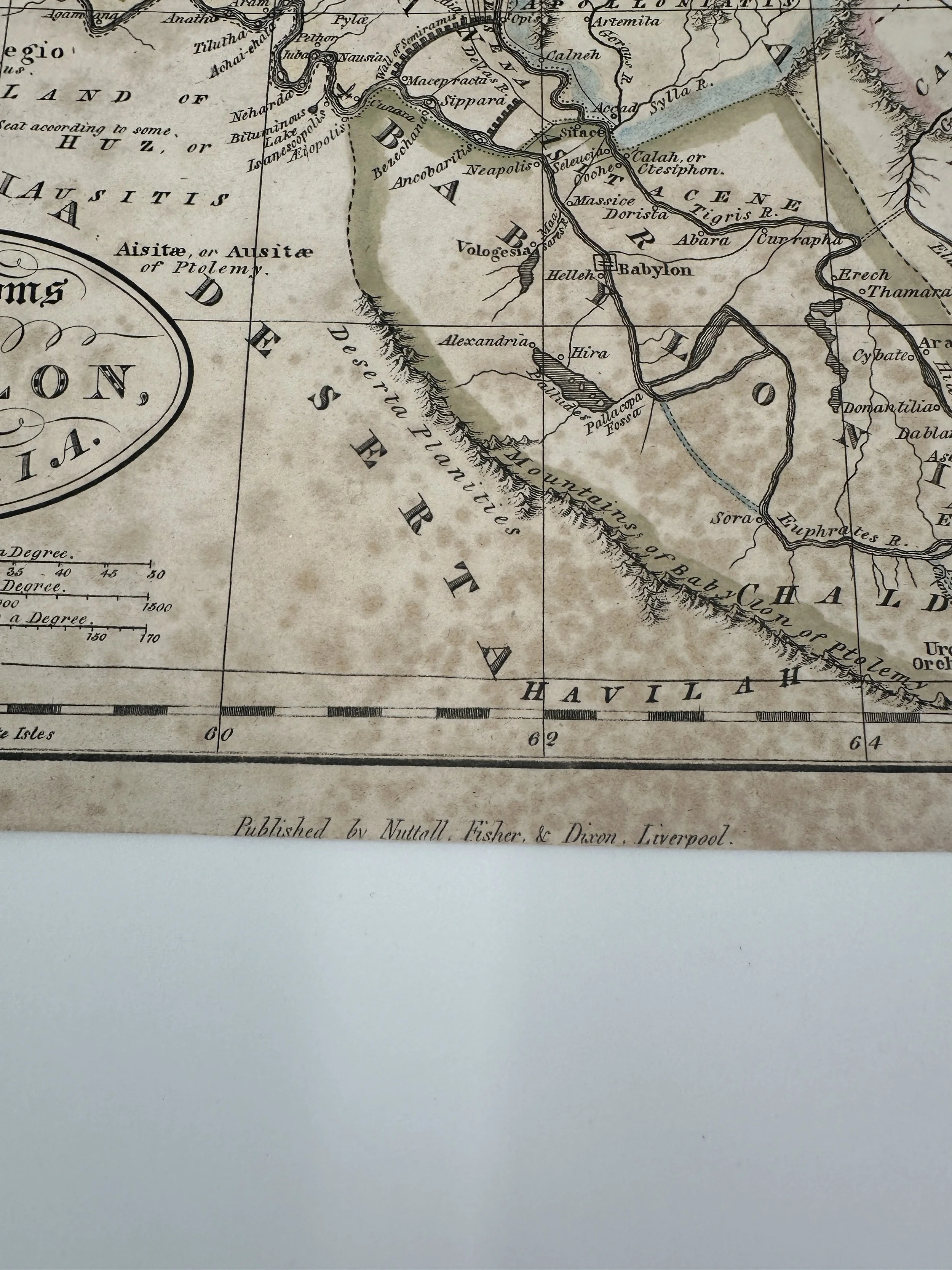
HERMAN MOLL COPPER ENGRAVING 1728 MAP A Plan of Port Royal Harbour in Carolina with the Proposed Forts, Depth of Water, & c. Latitude
A Plan of Port Royal Harbour in Carolina with the Proposed Forts, Depth of Water, & c. Latitude
1728 Reprinting ( Dated underneath title )
Map by Herman Moll
Published by H. Moll, 1728 in London.
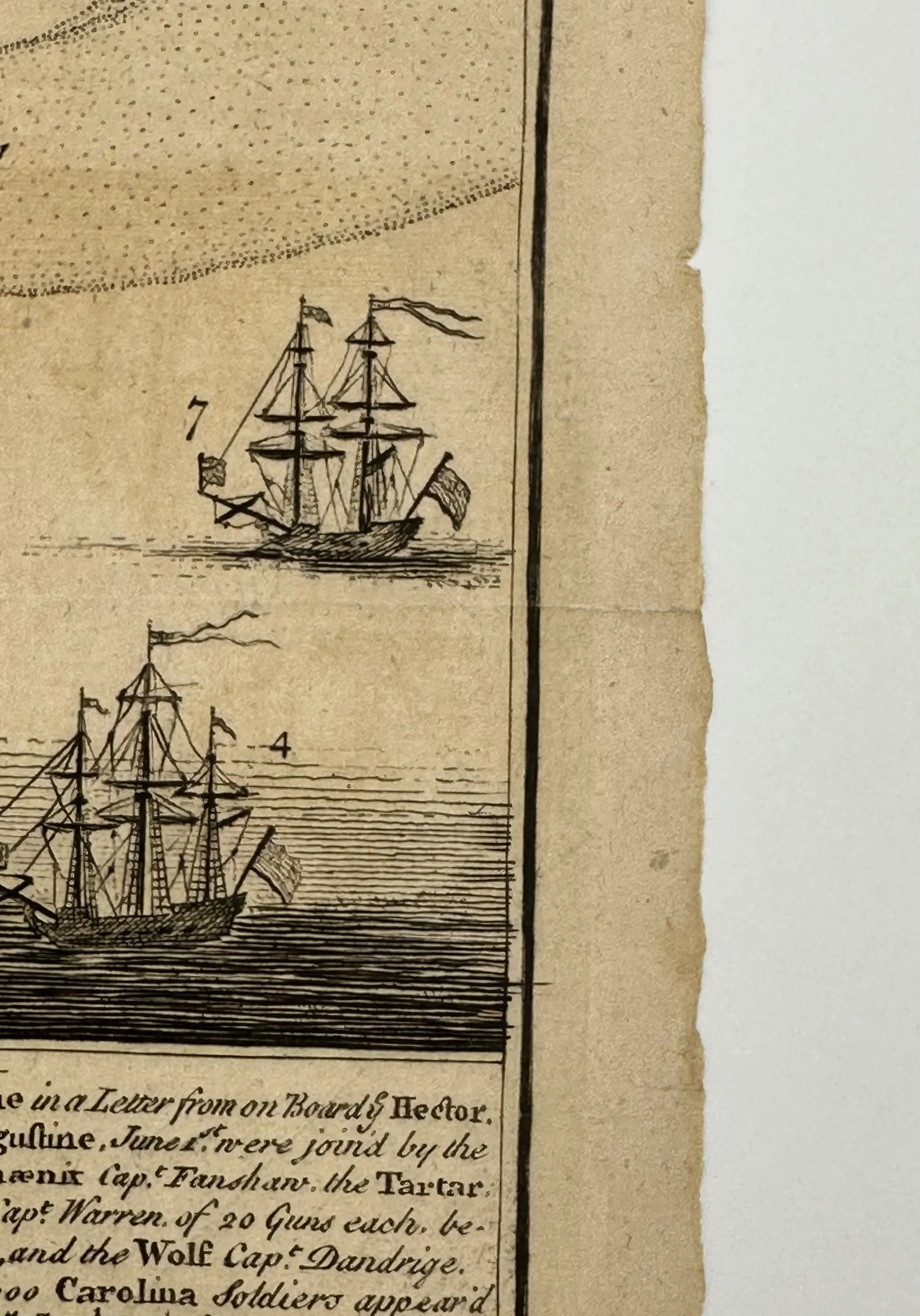
This is not a “new” map, nor is it in a “new condition.” This is an antique map, printed in 1728, and its age is reflected in its condition. This piece measures approximately. 12 ¼ x 8 ½ and is in great condition, it shows no sign of wearing but does have age discoloration around the edges and along the middle crease.
THE MAP PHOTOGRAPHED IS THE ONE THAT YOU WILL RECEIVE.
Though his location and date of birth are not exactly known, it is believed that Herman Moll was born in 1654 in either Germany or the Dutch Republic ( The Netherlands ). War and conflict in his home during this time sent him to London, where he was working as an engraver in 1678. He worked there under publishers Christopher Browne, Robert Morden and Lea, for whom he helped engrave numerous maps. In 1701 he solo published the book “A System of Geography: or a New and Accurate Description of the Earth”, which was reproduced many times over the years, and was so closely associated with the maps he created for it that it became known as “Moll’s Geography”. His second publication was a monthly release called Atlas Geographus, which was released for ten years and was eventually compounded into its own atlas. His largest and most reproduced venture was The World Described, which originally comprised thirty smaller volumes and was eventually sold as a single atlas under a number of different publishers. An obituary in The Gentleman’s Magazine claimed that Moll died on September 22nd, in 1732. Though not confirmed he was ever in acquaintance with him the author of Gulliver’s Travels, Jonathan Swift, included him in his novel.
All items listed are from V&J Duncan in Savannah, GA. The shop began in 1983 with one tabletop of antique maps and has grown into a vast collection of old engravings, mezzotints, lithographs, photographs, old books, and antique prints. We have prints of architectural interest, birds, animals, botanicals, fashion, sporting scenes and tens of thousands of portraits. Our inventory also includes views and maps of Savannah and other cities, all U.S. states and most countries of the world. Visit us in Savannah, Georgia, or shop inventory here online.
All prints are rolled and shipped in a poster tube. Smaller prints will be shipped in a rigid media mail folder.
HERMAN MOLL COPPER ENGRAVING 1728 MAP A Plan of Port Royal Harbour in Carolina with the Proposed Forts, Depth of Water, & c. Latitude
A Plan of Port Royal Harbour in Carolina with the Proposed Forts, Depth of Water, & c. Latitude
1728 Reprinting ( Dated underneath title )
Map by Herman Moll
Published by H. Moll, 1728 in London.
This is not a “new” map, nor is it in a “new condition.” This is an antique map, printed in 1728, and its age is reflected in its condition. This piece measures approximately. 12 ¼ x 8 ½ and is in great condition, it shows no sign of wearing but does have age discoloration around the edges and along the middle crease.
THE MAP PHOTOGRAPHED IS THE ONE THAT YOU WILL RECEIVE.
Though his location and date of birth are not exactly known, it is believed that Herman Moll was born in 1654 in either Germany or the Dutch Republic ( The Netherlands ). War and conflict in his home during this time sent him to London, where he was working as an engraver in 1678. He worked there under publishers Christopher Browne, Robert Morden and Lea, for whom he helped engrave numerous maps. In 1701 he solo published the book “A System of Geography: or a New and Accurate Description of the Earth”, which was reproduced many times over the years, and was so closely associated with the maps he created for it that it became known as “Moll’s Geography”. His second publication was a monthly release called Atlas Geographus, which was released for ten years and was eventually compounded into its own atlas. His largest and most reproduced venture was The World Described, which originally comprised thirty smaller volumes and was eventually sold as a single atlas under a number of different publishers. An obituary in The Gentleman’s Magazine claimed that Moll died on September 22nd, in 1732. Though not confirmed he was ever in acquaintance with him the author of Gulliver’s Travels, Jonathan Swift, included him in his novel.
All items listed are from V&J Duncan in Savannah, GA. The shop began in 1983 with one tabletop of antique maps and has grown into a vast collection of old engravings, mezzotints, lithographs, photographs, old books, and antique prints. We have prints of architectural interest, birds, animals, botanicals, fashion, sporting scenes and tens of thousands of portraits. Our inventory also includes views and maps of Savannah and other cities, all U.S. states and most countries of the world. Visit us in Savannah, Georgia, or shop inventory here online.
All prints are rolled and shipped in a poster tube. Smaller prints will be shipped in a rigid media mail folder.

 Image 1 of 11
 Image 2 of 11
 Image 3 of 11
 Image 4 of 11
 Image 5 of 11
 Image 6 of 11
 Image 7 of 11
 Image 8 of 11
 Image 9 of 11
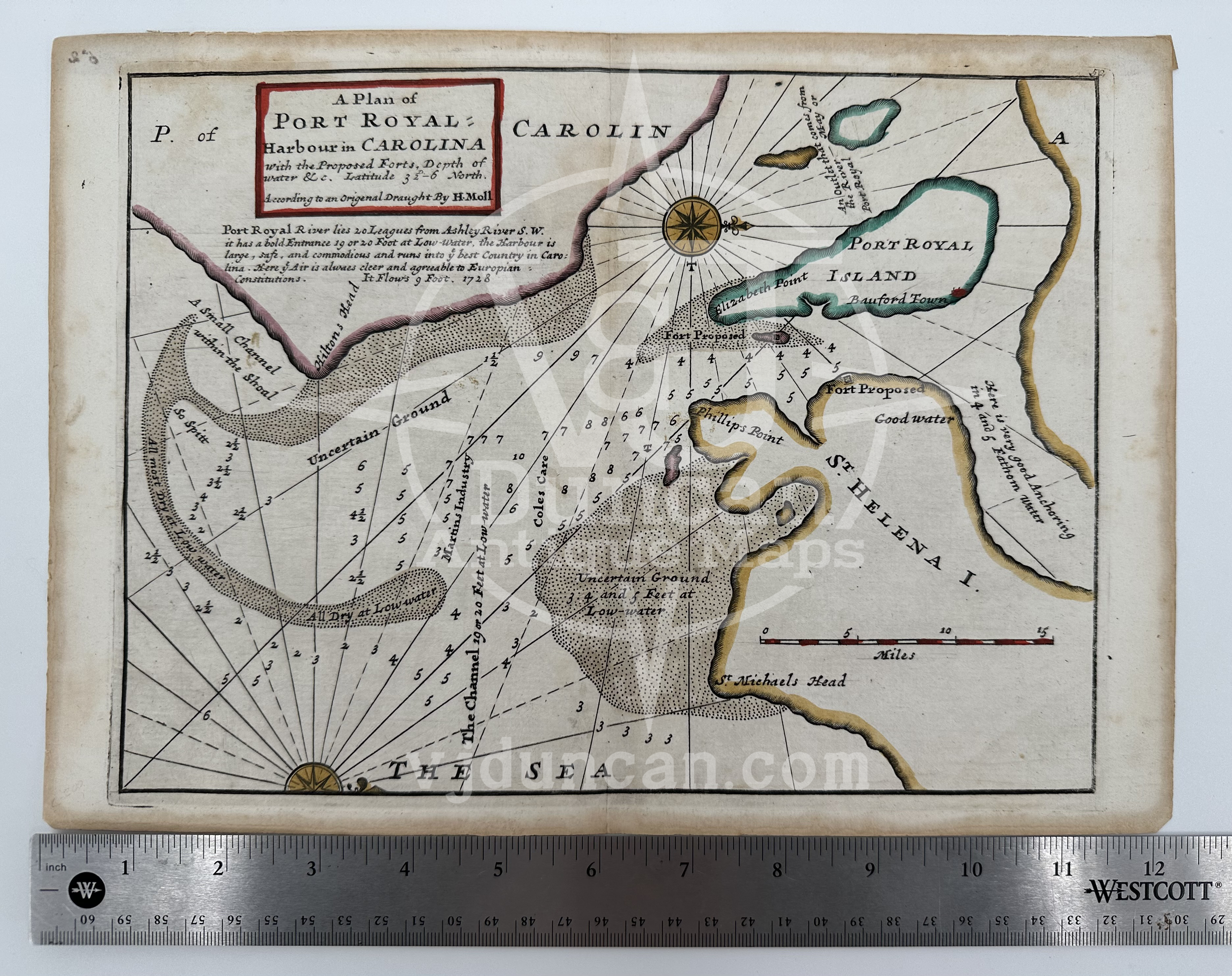 Image 10 of 11
 Image 11 of 11